Rescue Service


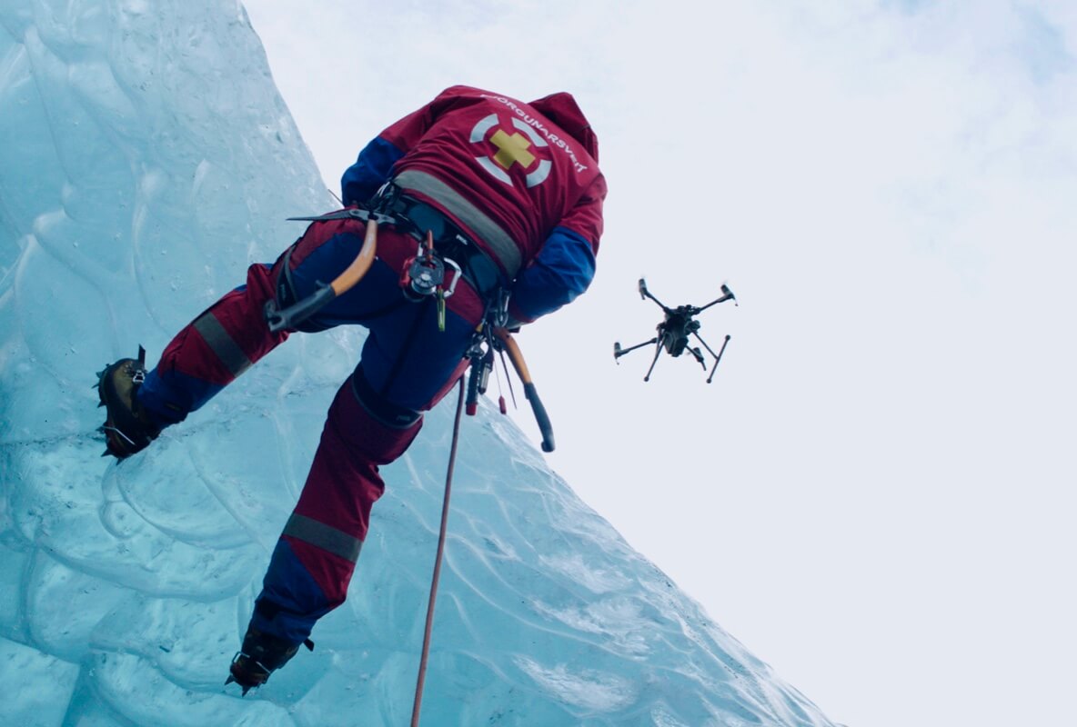
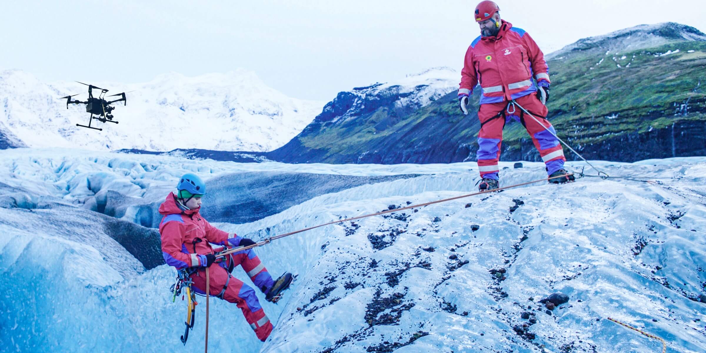
First Responders are turning to Drone-Works aerial solutions to aid in search and rescue missions. Deployed at land or sea, drones can efficiently scan vast areas and help pinpoint individuals in distress thanks to high-resolution digital and thermal sensors
Rescue Services Key Benefits
Search & Rescue
Efficiently scan vast areas and pinpoint missing individuals thanks to high-resolution digital and thermal cameras
Disaster Response
Fly over affected areas, document damage to infrastructure and property, and optimize relief efforts
Search & Rescue

Traditional Challenges For Search & Rescue
- Rescue missions pose inherent dangers to responders, which can be compounded by incomplete situational information
- Rescue teams can be spread thin when target areas are vast and terrain is demanding
- Night time and low-light conditions hinder search efforts, significantly complicating rescue missions
How Drones Support Search & Rescue
- Scan wide areas and identify threats to victims and responders with high-resolution aerial imagery
- Elevate responders' perspective and bring search and rescue to new levels of efficiency
- At night, or in low-light conditions, leverage thermal sensors to locate missing persons who might otherwise be overlooked
Disaster Response

Traditional Challenges in Disaster Response
- In the aftermath of disaster, when every moment matters, complicated terrain and environments can delay response times
- Disaster areas pose hazards to victims and rescue teams which can be aggravated by a lack of clear information and communication
- Relief efforts and target prioritization can be hindered by an incomplete perspective on the affected region
How Drones Assist in Disaster Response
- Fly over obstacles and hazards, immediately gain the power of perspective, and begin deploying care
- An aerial angle can help guide ground teams, facilitate communications, and synchronize rescue efforts
- Rapid 2-D and 3-D modeling of affected areas can produce actionable maps to guide relief efforts


