Land Surveying

Spot-on Aerial Surveying with Enterprise Solutions from Drone-Works
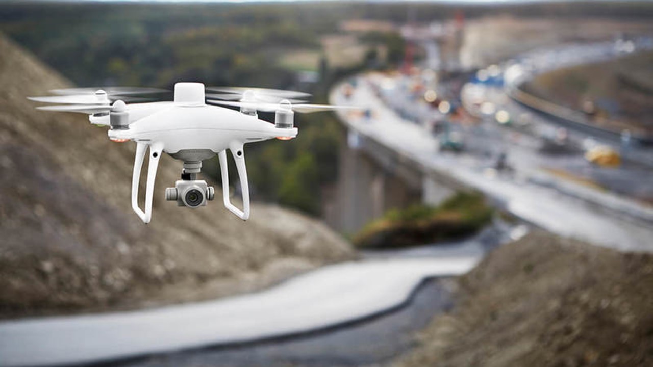
Whether you’re an experienced surveyor looking to expand your toolkit or just starting out with this awesome application of drones, Drone-Works has the experience and expertise to support your mission objectives.
Surveying is the precise science of determining the positions of, and the distances between, points in 2D and 3D space.
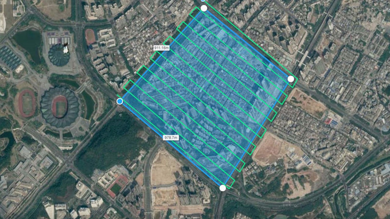
With precise measurements of position and points in 2D and 3D space, surveys provide critical information that enables informed decision making ranging from construction site planning, to design and upkeep of infrastructure, to delineating cadastral property boundaries, and more.
Drones provide superior aerial surveying and excel at rapidly acquiring data from vantage points inaccessible to humans.
Aerial surveying over challenging terrain eliminates the need for surveyors to physically access and measure points in hazardous or difficult-to-reach locations.
Traditional surveying methods require meticulous measurement, preparation, and planning.
Drones can capture comparable data in dramatically shorter time, up to 75% reduced GCP setup time.
Drone surveying produces quality results quickly, profitably, and safely.
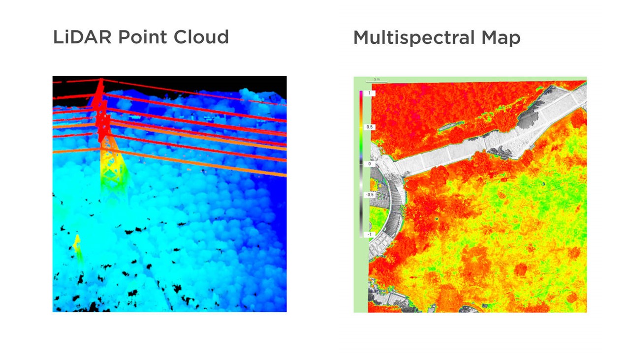
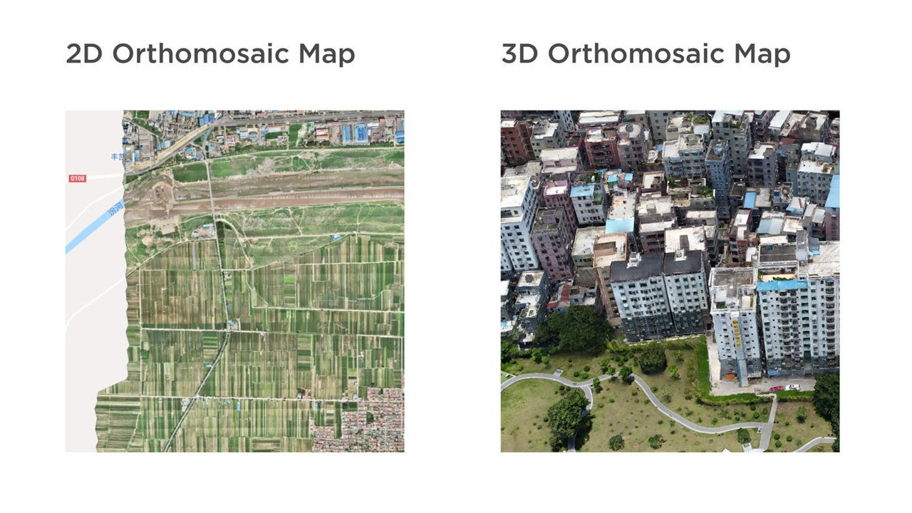
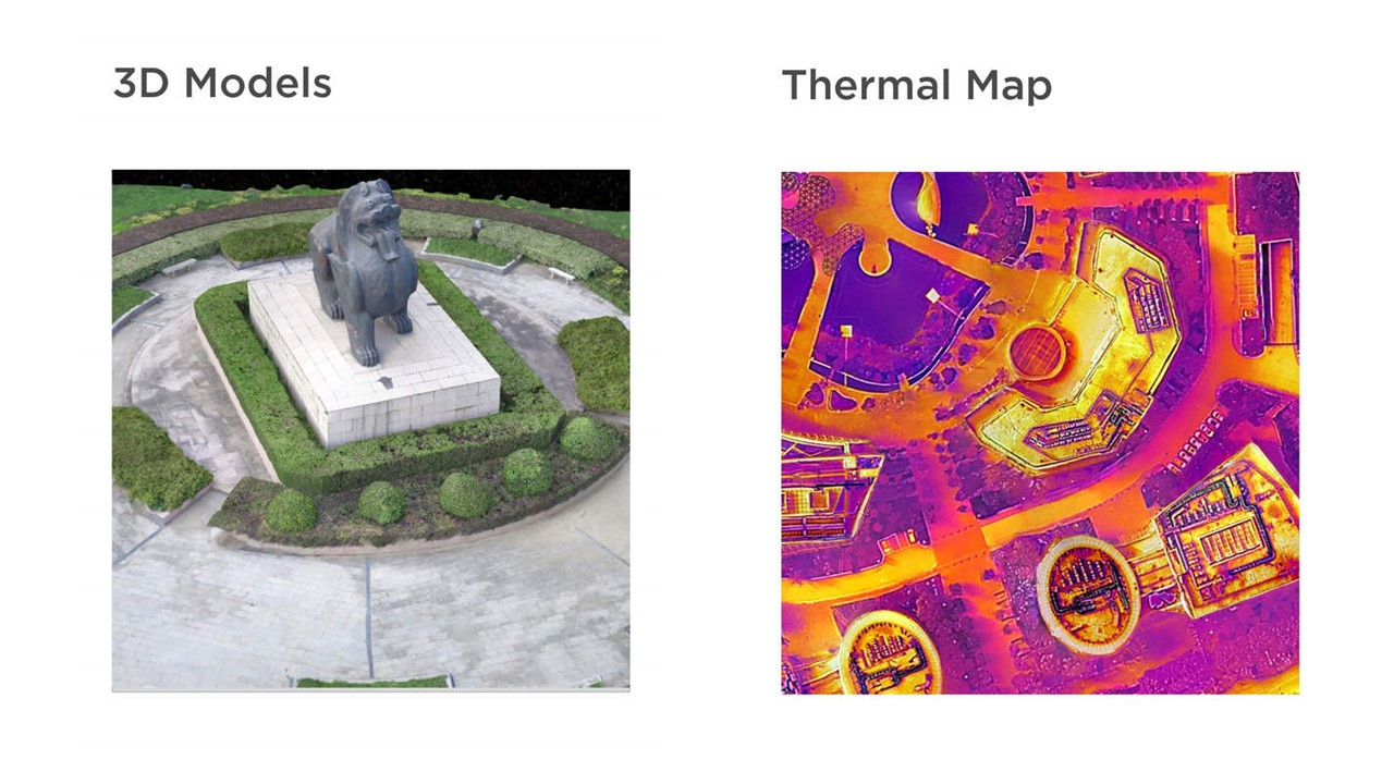
Depending on your choice of data sensors and surveying software, drone surveying can produce a variety of deliverables with use cases in many industries.
