Agriculture

Maximize Yields with Aerial Imaging Solutions from Drone-Works

Crop Consulting
For generations farmers have walked their fields investigating crops manually for signs of stress or disease. This traditional, labor intensive method is time consuming and can be difficult when crop canopies thicken. With technology from Drone-Works Enterprise Solutions, farmers are able to evaluate their crops at scale while simultaneously creating crop maps that help them manage crops and time better. We have solutions with aircraft that are highly portable, and boast industry leading flight times. Equipped with high resolution cameras and up to 8K video, they capture clear, detailed images that are essential for analysis. We also offer thermal imaging solutions that have become an important tool for crop management. It is a non-invasive way to monitor nurseries and greenhouses and even detect plant diseases, all of this important data can be easily captured.

Irrigation Management
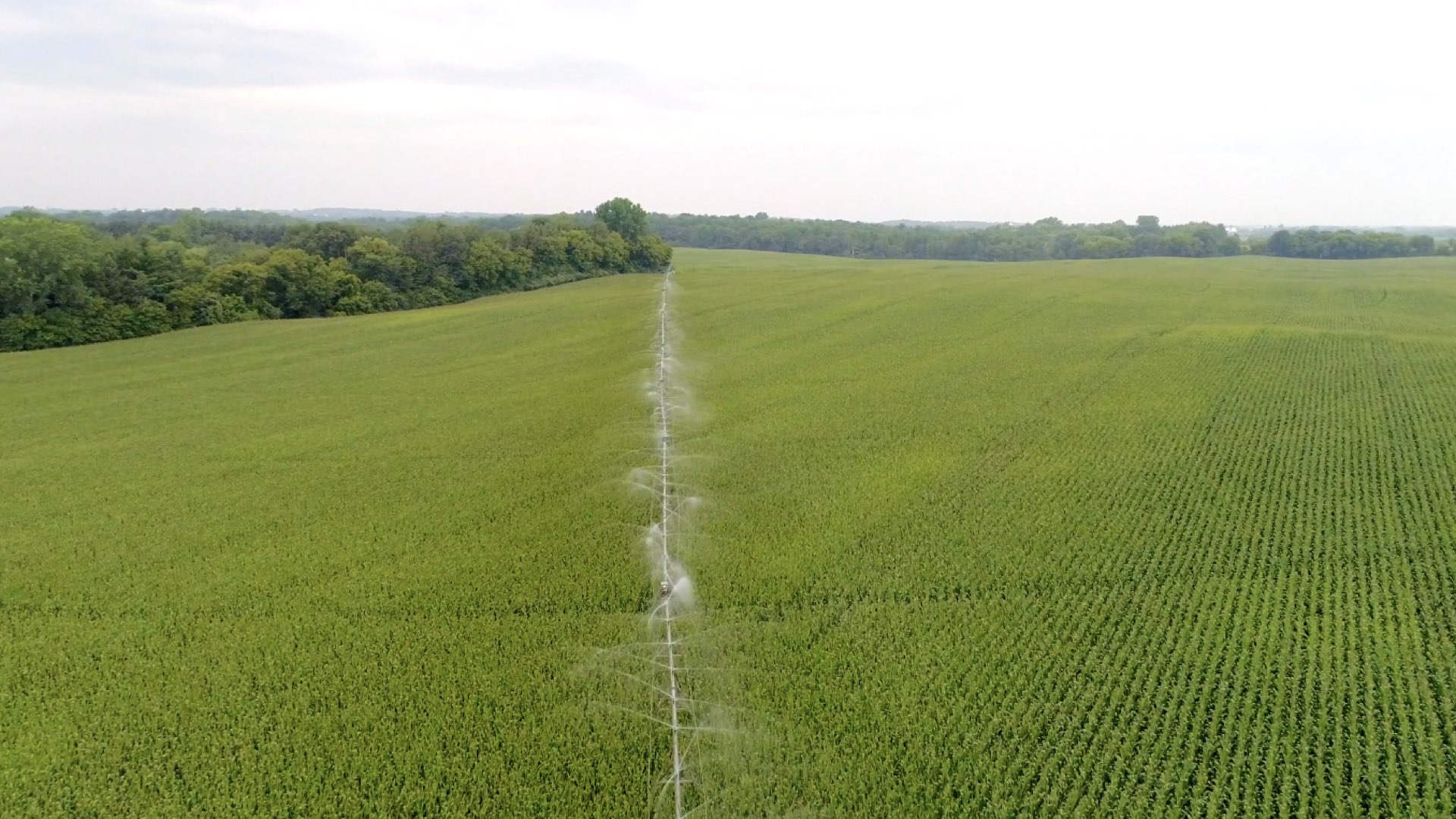
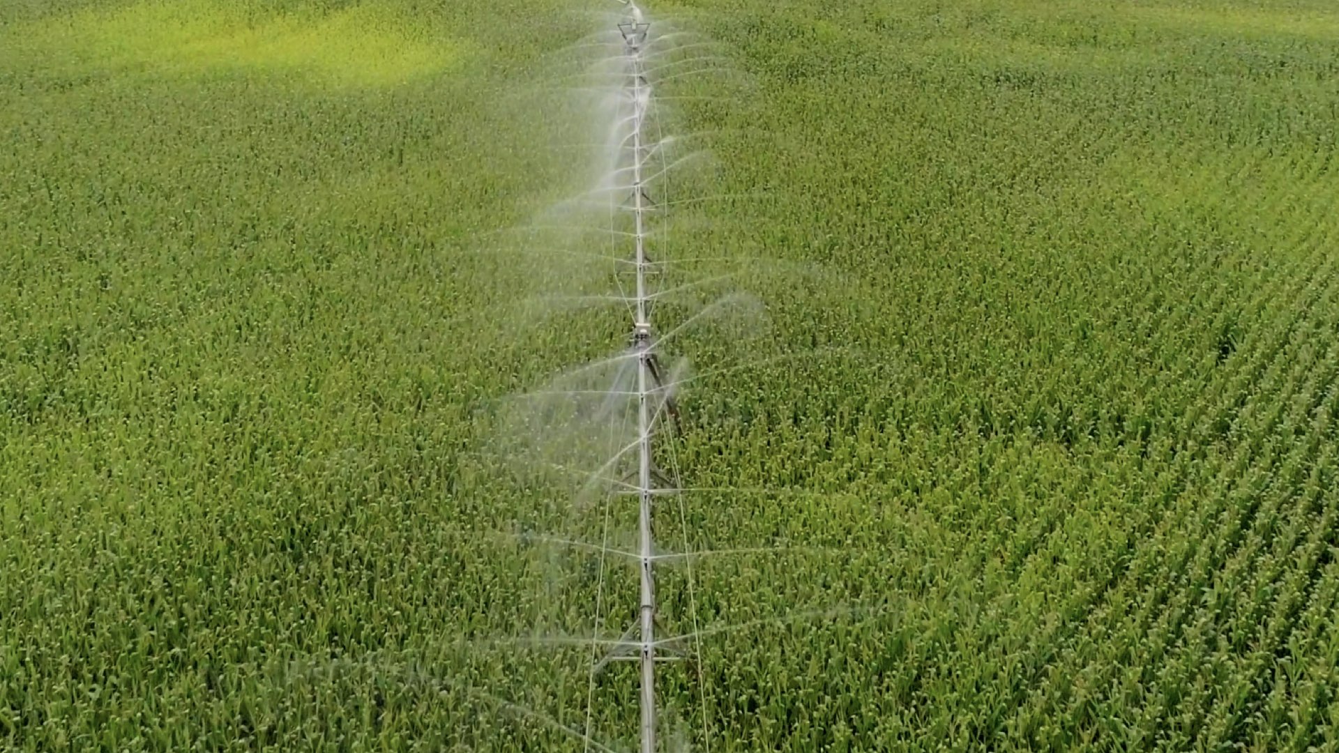
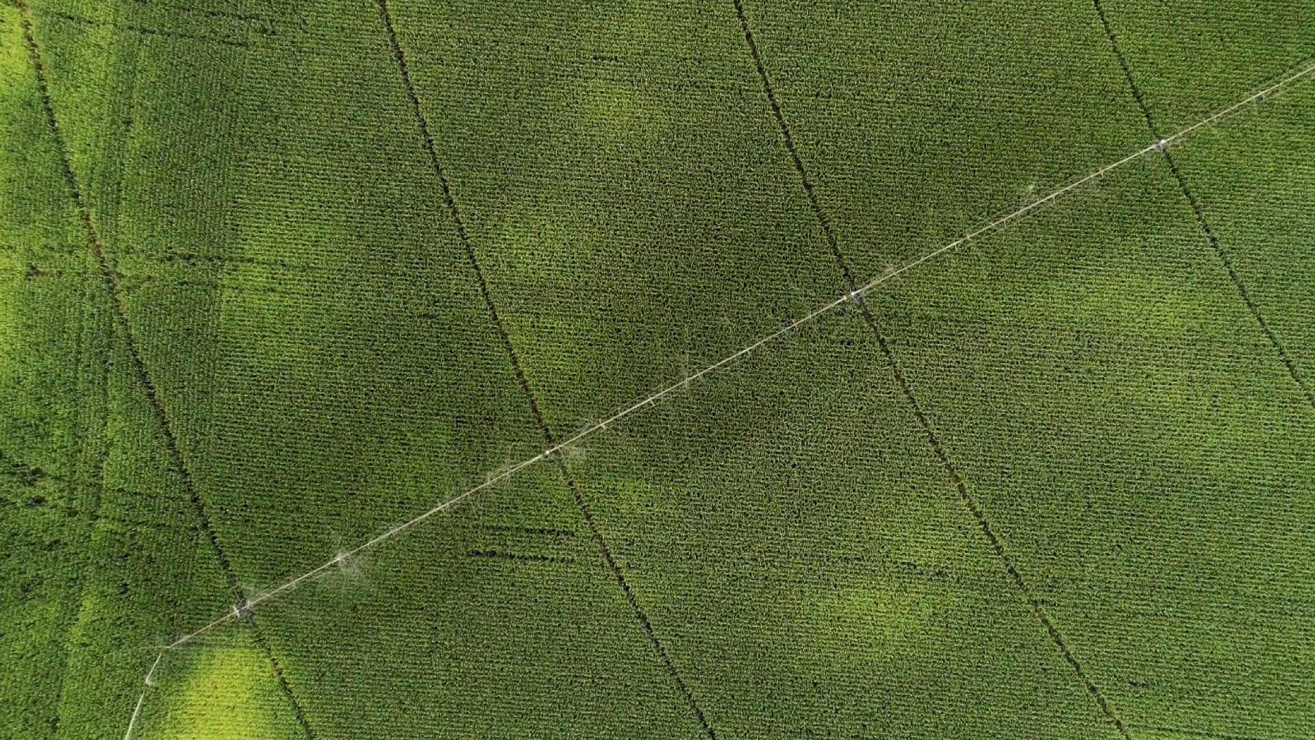
Fresh water is one of our most precious resources, with farms worldwide constantly looking to optimize their use of water. Both too much and too little affect productivity, meaning detailed tracking and monitoring is required. Large growers today often have many fields spread out across an entire region. These rely on the use of multiple irrigation pivots to water crops. Once crops such as corn begin reaching certain heights, mid-season inspections of the irrigation equipment that delivers much-needed water can become more difficult. With thermal capabilities, irrigation and water pooling can be managed more efficiently, giving growers a detailed understanding of the state of their lands and fundamental insights that lead to better decision making.

Crop Inspection
Agronomists draw from a number of different sciences to address pressing issues, including producing food, creating healthier food, managing the environmental impact of agriculture, and extracting energy from plants. Whether they specialize in crop rotation, irrigation and drainage, plant breeding, plant physiology, soil classification, soil fertility, weed control, or insect and pest control, agronomists rely on a host of plant and environmental data. Airborne cameras can carry a powerful combination of infrared and visual cameras to create a view of crops that cannot be seen with the naked eye. This highlights differences between healthy and distressed plants and allows for rapid action where necessary. Drones can also survey a crop every week, every day, or even every hour. Combining this information into a time-lapse animation can highlight changes in the crop, revealing trouble spots or opportunities for better crop management. Drone-Works Enterprise Solutions offers a large selection of aircraft to meet any mission, from small, highly portable aircraft to large heavy-lift platforms capable of carrying multiple payloads, allowing the deployment of a wide range of third-party sensors and cameras from multi-spectral to hyper-spectral and full frame.

Spraying
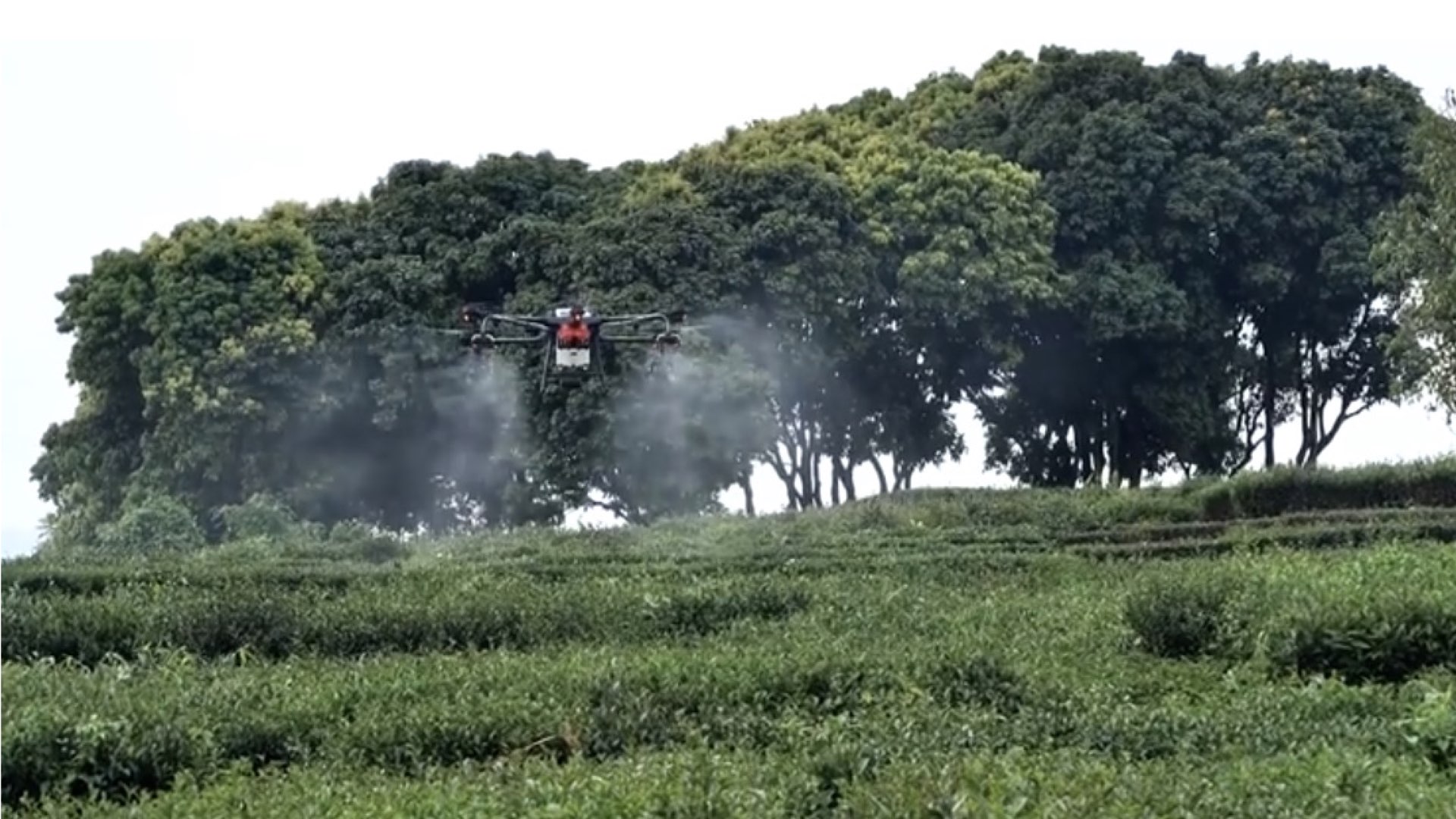
All farms rely on a number of plant protection and fertilization methods to maintain crop health and yields. For decades, farmers have either relied on labor-intensive manual spraying or hired crop dusters to spray fields too large for manual labor. Neither option is an ideal one as manual spraying is time intensive while crop dusters are extremely expensive. Drone-Works offers drone solutions designed to increase efficiency and manageability in plant protection and fertilization.


